By Andrew Liszewski
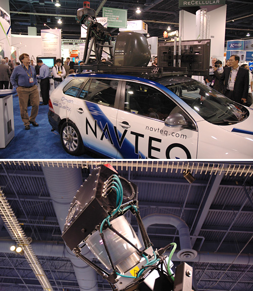
Google Maps and its street view functionality is pretty slick, no question there, but a little competition never hurt anyone. So Nokia’s NAVTEQ is raising the stakes with its new fleet of LIDAR (light detection and ranging) and camera equipped vehicles which have spent the last year roaming the U.S. capturing 3D point cloud data of America’s highways and biways.
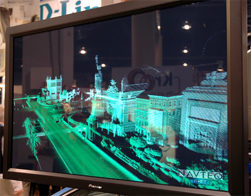
NAVTEQ True, which is what the company officially calls the new mapping collection system, is able to capture over 1.5 million 3D data points every second, from a range of about 120 meters around the vehicle. This includes items like street and speed signs, or objects as small as mile markers, but also provides data on the height of bridges or lane widths accurate to within a centimeter. What’s even cooler is that the system can be mounted to Segways, allowing the insides of buildings or malls to be mapped as well.
[ Navteq ]




I agree a little competition only furthers the product/service along. Only causing them to better themselves and offer new, improved, and better things for the future.
So basically this is what brings Segway back into business
So basically this is what brings Segway back into business